
RTKFnet
RTKFnet is one of the UK’s leading providers of high‑accuracy RTK (Real‑Time Kinematic) correction services, enabling users to achieve centimetre‑level precision for GPS and GNSS‑based systems. Founded in 2010, the network was created to give farmers, surveyors, construction teams, and drone operators a reliable, wide‑area alternative to traditional single‑base setups.
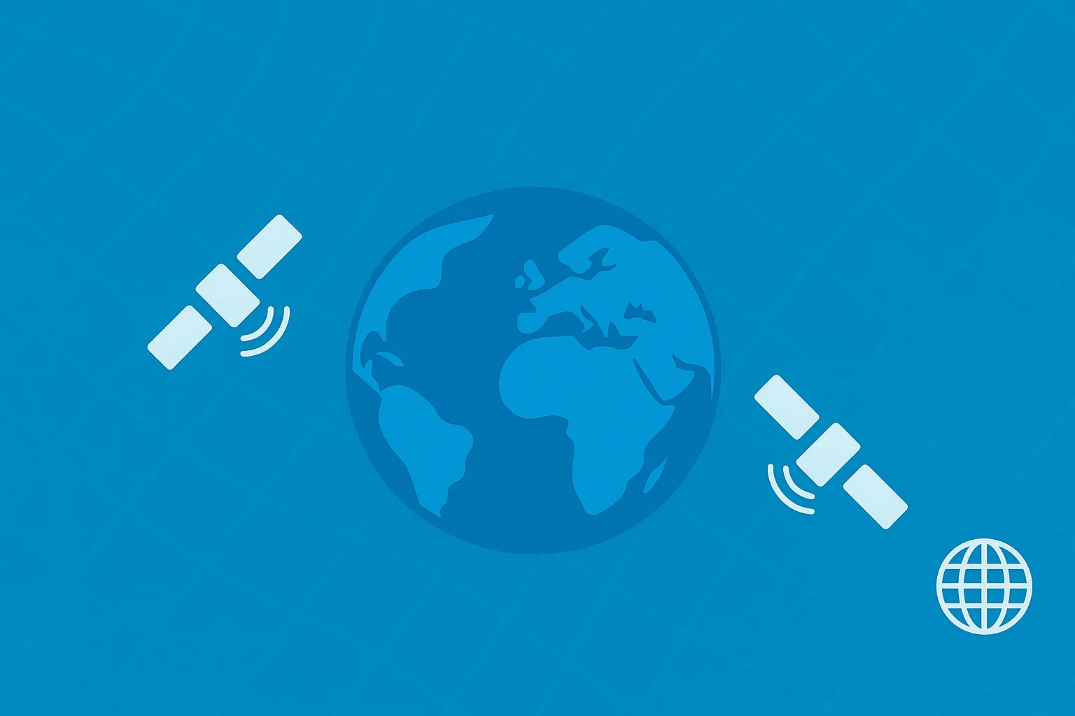
Today, RTKFnet operates an extensive network of modern UK‑wide base stations, delivering consistent, real‑time corrections compatible with all major satellite constellations, including GPS, GLONASS, Galileo, and BeiDou.
Designed for flexibility and ease of use, RTKFnet supports any RTK‑enabled receiver and provides corrections via NTRIP, with optional RINEX data available for post‑processing. Users benefit from:
- Fast start‑up times
- Strong technical support
- Wide‑area coverage without the need to deploy their own base station
This helps save time, reduce equipment costs, and improve day‑to‑day efficiency. Whether in agriculture, construction, surveying, or drone operations, RTKFnet delivers dependable accuracy that keeps workflows smooth and precise.
Key areas of expertise
- High‑accuracy RTK correction services
- UK‑wide wide‑area RTK network infrastructure
- Precision positioning for agriculture, construction, surveying, and drone operations
- Real‑time NTRIP‑based correction delivery
- RINEX data support for high‑precision post‑processing
- Dedicated customer support and remote technical assistance
More Information
Why use NTRIP?
RTKFnet enhances standard GNSS signals by using a nationwide network of precisely surveyed base stations. These stations compare live satellite data against their known fixed positions, then send real‑time correction data to your equipment via NTRIP. The result is a dramatic accuracy boost—from metres down to just a few centimetres.
If your work demands true centimetre‑level precision—whether in farming, surveying, construction, or drone operations—RTKFnet’s RTK and NTRIP services make that possible. With a reliable UK‑wide network, fast start‑up times, and multi‑constellation GNSS support, you get accurate, dependable positioning whenever you need it.


